Giant’s Grave Loop
- Cadamstown Car Park, Cadamstown, Co. Offaly
- Download Map (PDF)
- Listed in Loop Walks, Cadamstown
- Distance: 14km
- Services: Cadamstown, Clonaslee (12km), Kinnitty (8km)
- Trail Grade: Hard
- To suit: Good levels of fitness
- Terrain: Mix of minor roads, forestry tracks, old laneways and riverbank paths
- Min. gear: Walking boots, fluids, snacks
14 Km - 4 hours - Hard
Cadamstown is situated at the foothills of the Slieve Bloom Mountains, on the banks of the Silver River in County Offaly. The town was at one time home to Charles O’Carroll whose Grandson was a signatory of the Declaration of American Independence in 1776.
Directions to Cadamstown trailhead
In the village of Cadamstown (on the R421 between Clonaslee and Kinnitty), the carpark is located beside Dempsey’s public house. Grid Ref. N 227 085.
The Walk
- A-B Starting from the village carpark in Cadamstown Village, turn right onto what was the Coach Road that passes on the right of Dempsey’s Pub. Pass the signpost for the Nature Trail and follow the tarred road for almost 1km to reach an old laneway on your right know locally as Paul’s Lane. Note that the shorter blue loop turns right here – you continue straight, still following the red arrows and the Slieve Bloom Way (marked with yellow arrows and the familiar trekking man logo).
- B-C Continue to follow the Coach Road for a further 1km to reach a junction with a roadway to your right. Turn right here – still following the red arrow and Slieve Bloom Way.
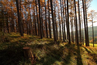
- C-D After 1km you join forestry track, and 600m further on you turn left at a junction with a woodland path which takes you to the Giant’s Grave.
- D-E Shortly after passing the Giant’s Grave the woodland path joins forestry track again. Turn right and continue for 300m and turn right when you reach a 4-way junction (noting that the Slieve Bloom Way goes left here). After 100m you reach a T-junction and turn left – following the forestry track gently uphill to reach a clearing with superb views between two gateways/stiles on the shoulder of The Spink Mountain.
- E-F Shortly after passing through the two gateways/stiles you enter forestry again and follow the track downhill to a 3-way junction where you veer right. Note that you have now joined the green loop and the Slieve Bloom Way both of which overlap with the red loop on your return to Cadamstown. Follow the forestry road for 500m to a point where it turns left into the forestry. Follow the red, green and yellow arrows through the forestry to exit at a small stream known locally as Purcell’s Book.
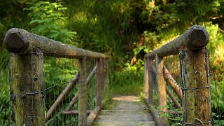
- F-G Cross Purcell’s Brook and turn left onto an old laneway – noting that you have now joined the blue loop on its return journey to Cadamstown. Follow the laneway downhill to reach a gateway at a beautiful weir on the Silver River. Turn right here.
- G-A Cross a small stile and join the bank of the spectacular Silver River. Enjoy the special scenery and rushing waters for almost 1km before ascending to a wooden stile and entering farmland. Turn left here onto a farm laneway – follow it downhill for 200m to reach a concrete stile. As you exit the farm the trailhead and village are to your left.